- Map of Denmark
- Detailed map of Copenhagen
- Map of the different districts of Copenhagen
- Detailed map of the historic centre of Copenhagen
- Map of places of interest in Copenhagen
- Map of Copenhagen's metro lines
- Detailed map of Copenhagen's metro lines and urban trains
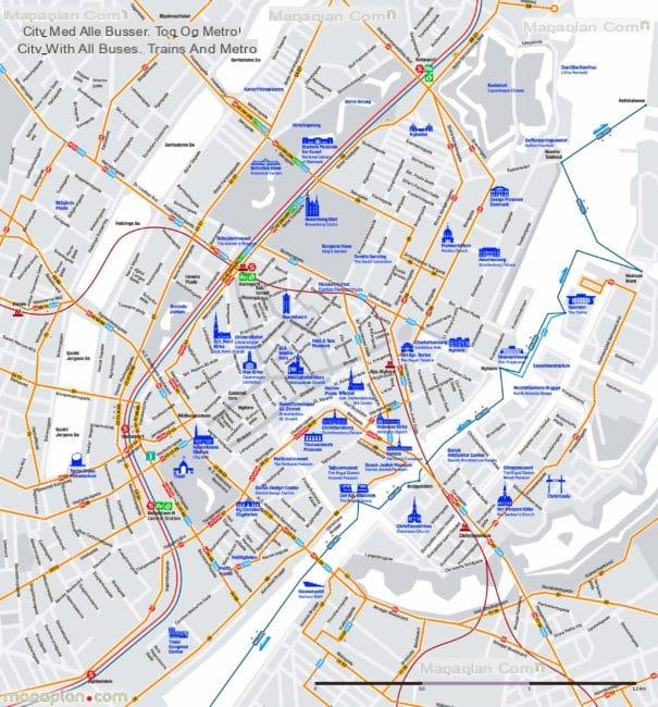
- Copenhagen Transport Lines Plan
Are you going to visit Copenhagen? Use and download the maps and plans of Copenhagen to find your way around!
Copenhagen is quite a big city and is the capital of Denmark! If you come to visit Copenhagen for a short or long weekend, it will be useful to get your bearings in advance with maps and plans of Copenhagen, in order to save time on site.
Below you will find detailed maps and plans of Copenhagen to help you when you arrive at the airport, central station or in the centre if you are arriving by car. For each map you have the possibility to enlarge it. To download the maps & plans, right click and "Save as".
Are you going to Copenhagen? Use our guides:
- Visit Copenhagen
- Where to stay in Copenhagen
- Find a flight to Copenhagen
- Activities in Copenhagen
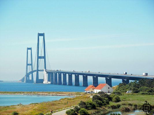
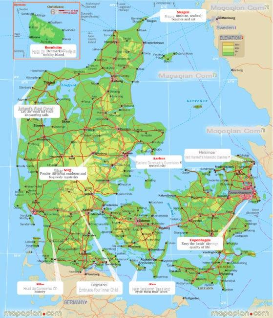
Map of Denmark
This map of Denmark gives you an overview of the country's geography:
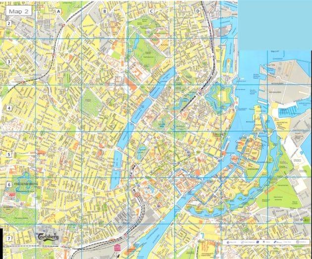
Detailed map of Copenhagen
This map of Copenhagen gives you an overview of the geography of the city:
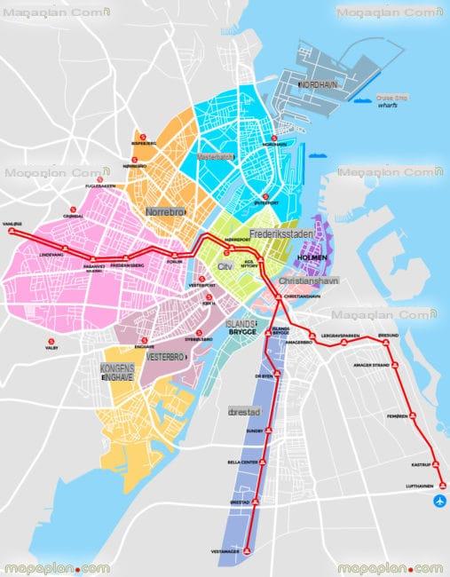
Map of the different districts of Copenhagen
Here is a map of the different districts of Copenhagen:
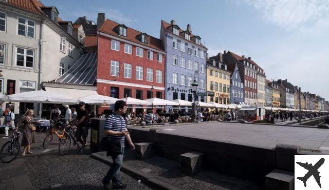
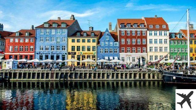
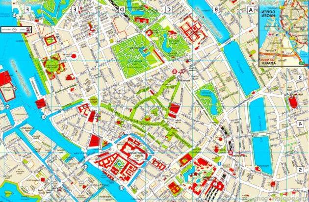
Detailed map of the historic centre of Copenhagen
Here is a detailed map of Copenhagen's historic centre, the most lively and touristy area:
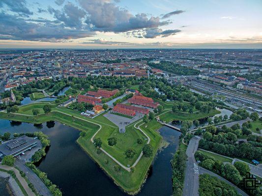
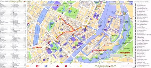
Map of places of interest in Copenhagen
Find all the monuments and places of interest in Copenhagen on this map: Monuments, museums, parks, tourist attractions...
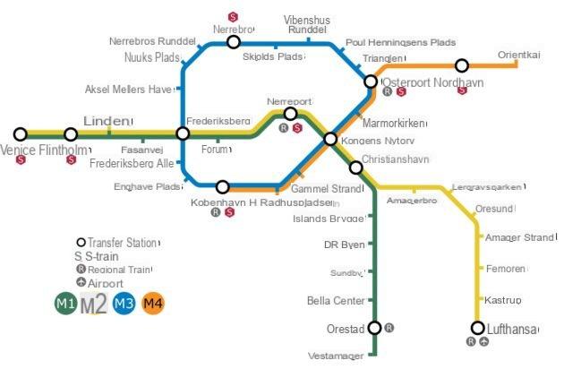
Map of Copenhagen's metro lines
Copenhagen's metro map shows you the stations and routes of the lines so you can get around more easily:
Detailed map of Copenhagen's metro lines and city trains
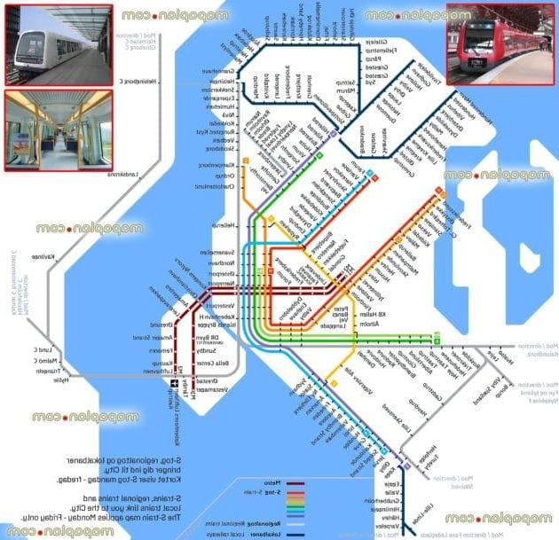
Copenhagen Transport Lines Plan
Bus, underground, city trains... here are all the public transport lines in Copenhagen: